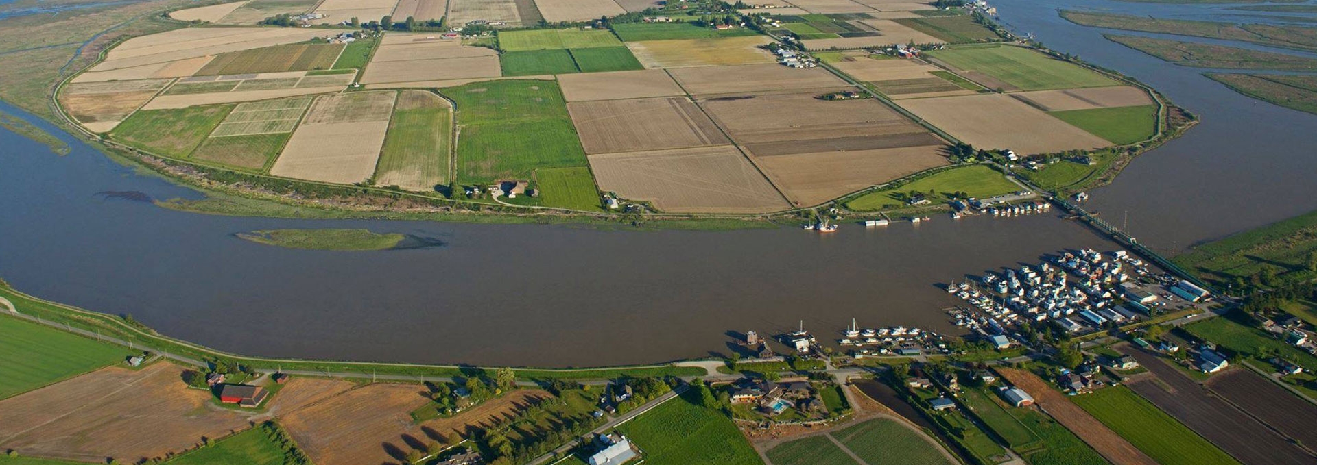
DeltaMap is the City of Delta's Online Mapping System. Use DeltaMap to look up information such as:
- Roads (Street Lighting, Highways, Road Classifications, Road Names, etc.)
- Transportation (Airports, Boat Launches, Ferry Terminal, Marinas, Railways, Truck Routes)
- Community Services (Fire Halls, Hospital, Municipal Hall, Police Headquarters and Stations, Schools)
- Facilities (Arts Centres, Curling Rinks, Fitness Centres, Ice Arenas, Libraries, Museum, Archives, Recreation Centres, Seniors Centres, Swimming Pools)
- Parks & Recreation (Parks, Trails, Community Gardens, Golf Courses, Lacrosse Boxes, Lawn Bowling, Skateboard Parks, Tennis Courts, Water Parks)
- Topology (Steep Slopes, Dyke Elevations)
- Planning & Development (Heritage Sites, Zoning, Land Use, ALR)
- Engineering Utilities (Sanitary, Drainage, Irrigation, Water)
- Rights of Way
- Municipal Easements
- Property (Lot Dimensions, Survey Monuments, Parcel Hooks and more)
- Orthophotos (Aerial)

